This map shows areas in Southeastern Minnesota where planting perennial crops, like Kernza(R), could improve public drinking water supplies by preventing nitrate leaching to groundwater. Areas where Kernza could prevent nitrate leaching are indicated in orange, with brighter orange indicating areas with the greatest impact.
Check out the story behind this project here.
Kernza Drinking Water Protection Map
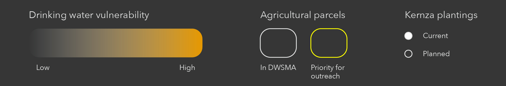
Map Legend
Map Details
We created this “heat map” by overlapping current information on nitrate levels in groundwater and policies related to drinking water protection for individual land parcels. The map overlaps three criteria:
- Is this parcel in a Drinking Water Supply Management Area (DWSMA)? If so, how vulnerable is the aquifer in that DWSMA to overlying land and water uses? The Minnesota Department of Health determines DWSMA vulnerability through assessing geology, well construction, and water chemistry.
- Is this parcel in a DWSMA where nitrate - nitrogen levels are already elevated (above 5.4 mg/L) as of July 2020, according to the Minnesota Department of Agriculture?
- Is this parcel subject to nitrogen fertilizer restrictions under the Minnesota Groundwater Protection Rule?
We gave each criteria a value from 0 to 5. For every parcel, we added up the individual values to create an overall impact score. The impact scores range from 0 to 9, with 9 shown in the brightest shade of orange. Planting Kernza in parcels that score a 9 could have the most positive impact on drinking water health. As you zoom into the “hot spots” on this map, you’ll see the outlines of individual agricultural parcels with an impact score greater than 7. By clicking on a parcel, you can see its acreage and property id number.
The largest hot spot in the state is in Dakota County. Here, we’ve outlined parcels in bright yellow that are particularly strong candidates for Kernza(R). These parcels are not irrigated and have groundwater nitrate concentrations that are estimated to be 10 mg/L or higher. The Minnesota Department of Health considers nitrate concentrations above 10 mg/L to be a health concern.
Funder: Southeast Regional Sustainable Development Partnership
Project coordinator: Al Kraus, Cannon River Watershed Partnership
Map application developer: Robbie Seltzer